01Easy
Piedras Blancas Glacier
- Distance, one way
- 4.1 km
- Elevation gain
- +200 m
- Time
- 1 h 40 each way
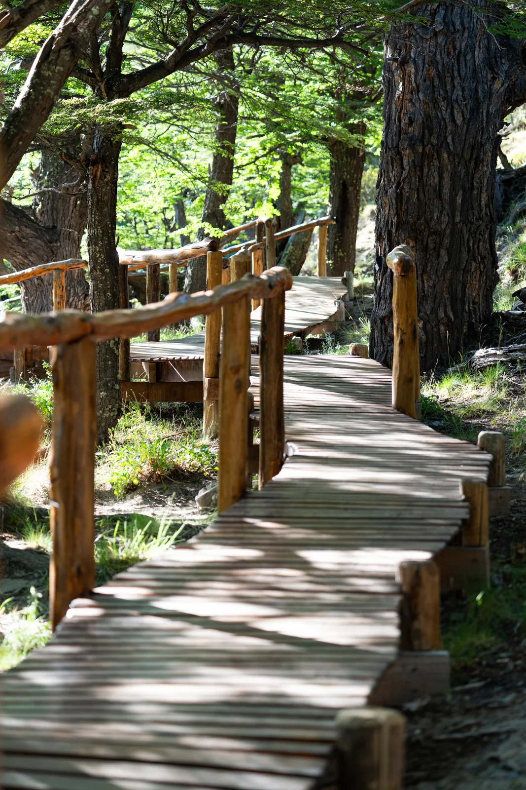
The shortest, and the one most often walked. Through the forest to the viewpoint over the hanging glacier, which falls into its own lake with the north face of Fitz Roy behind. Right for the day you arrive, or the day you leave.
Profile · trace it with your cursor458 → 650 m
Your dome4.1 km
- Inside Los Glaciares National Park: the entry fee is paid online or by QR code at the park gate.
02Demanding
Laguna de los Tres
- Distance, one way
- 9.2 km
- Elevation gain
- +760 m
- Time
- Full day · 7 to 10 h round trip
The classic Fitz Roy hike, without the walk out of town. Forest and the Río Blanco valley to Campamento Poincenot; then the last climb: about 3 km and more than 400 m of ascent to the lake, at the foot of the wall.
Profile · trace it with your cursor458 → 1,174 m
Your dome9.2 km
- The final stretch is very steep. National Parks marks it as dangerous in wind or rain: set out early and check the forecast.
- Inside the National Park: entry fee online or by QR code at the park gate.
03Easy
Piedra del Fraile
- Distance, one way
- 8.6 km
- Elevation gain
- +130 m
- Time
- 2 h 30 each way, approx.
The Río Eléctrico valley, almost level, between lenga beech forest and the river. It ends at the Piedra del Fraile refuge, at the foot of the range: you can have lunch there and walk back.
Profile · trace it with your cursor458 → 540 m
Your dome8.6 km
- The refuge is privately run and open from November 1 to April 6. Cash only.
04Moderate
Laguna Capri, and into town
- Distance, one way
- 10.2 km
- Elevation gain
- +360 m
- On to El Chaltén
- 4 km more, downhill
A walk from one end to the other: by way of Poincenot and Laguna Capri, with Fitz Roy straight ahead across the water, then down into El Chaltén on foot. A good way to say goodbye.
Profile · trace it with your cursor458 → 751 m
Your dome10.2 km
- Inside the National Park: entry fee online or by QR code at the park gate.
05Guided
Lago Eléctrico
- Distance, one way
- 11.8 km
- Elevation gain
- +210 m
- From Piedra del Fraile
- Registration and a guide
Past Piedra del Fraile, the valley runs on to Lago Eléctrico, with the Marconi ice at its head. Beyond the refuge, the trails require registration with National Parks and a licensed guide.
Profile · trace it with your cursor458 → 614 m
Your dome11.8 km
- The crossing to the Marconi Glacier takes several days and is guided only.